-
Essential:
Essential cookies are essential for you to browse the website and use its features. Cookies that allow web shops to hold your items in your cart while you are shopping online and navigating the website are an example of strictly necessary cookies. Our website does not work without these cookies, so they are stored without your express consent.
-
Preferences cookies:
Preferences cookies can be used to change the user experience of our website. Preferences cookies allow a website to remember choices you have made in the past.
-
Statistics cookies:
Statistics cookies are used to collect information about how you use our website. None of this information can be used to identify you.
-
Marketing cookies:
Marketing cookies track your online activity. The purpose of marketing cookies is to help advertisers deliver more relevant advertising or to limit how many times you see an ad.
Koli Services and Hiking Map
Koli Services and Hiking Map

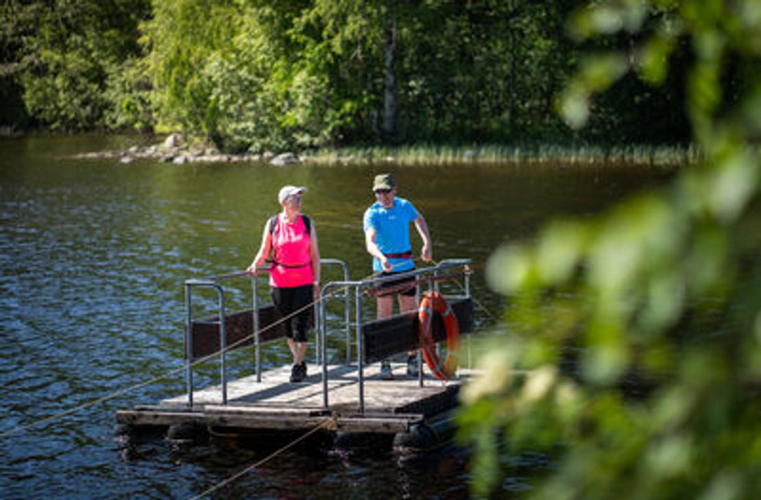
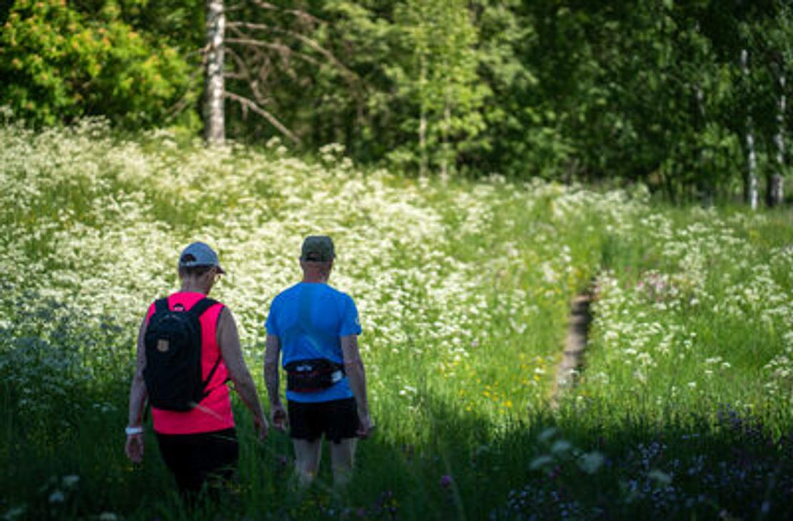


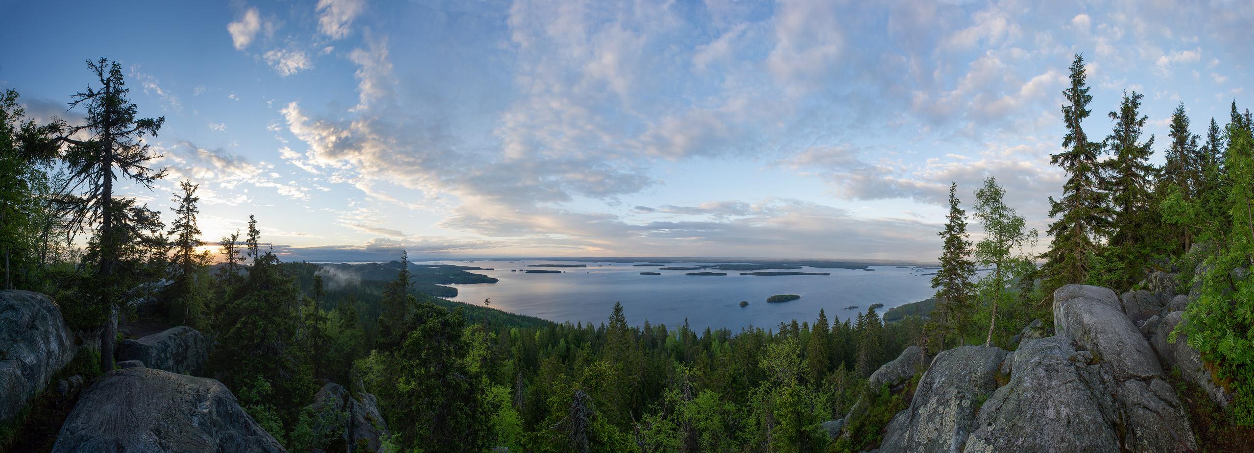
Paper map of Koli and the Pielinen region. If you are spending several days in Koli and the surrounding areas, this map is your choice!
The map covers the northern and southern parts of the national park, the entire Herajärvi loop, mountain biking, gravel biking, and touring routes, routes outside the national park, and service and business information on the map. Scale 1:150,000.
On the reverse side of the map, the entire Pielinen region and the Ruunaa hiking area magnified (1:75,000).
Domestic postage is added to the price at checkout. Please note that postage covers mailing within Finland, not abroad. If you wish to have the map mailed abroad, please contact us by email: info@koli.fi.
If you wish to purchase the map in Koli, they are sold at Koli Tourist Information (Kolintie 94A) and most tourism businesses.
Additional services
- Postage, letter delivery (added automatically to booking)